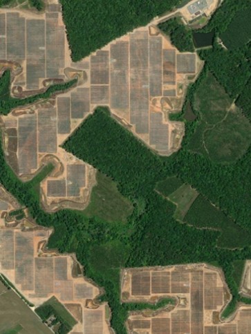
The Virginia Land and Energy Navigator (VaLEN) is now available for public use. VaLEN brings together GIS information related to prime farm and forestland, conserved lands, brownfields and mined lands, transmission lines, and other topics to support land use planning and decision-making at the local level for energy projects including solar, wind, hydroelectric, and small modular nuclear. VaLEN enables users to cross reference GIS layers with multiple themes and has a zoom feature that allows users to look at the highest resolution available, up to parcel scale.
Pursuant to legislation adopted in 2022, the Virginia Cooperative Extension developed the VaLEN map in consultation with VACo, the Virginia Department of Agriculture and Consumer Services, the Virginia Department of Forestry, the Virginia Department of Conservation and Recreation, the Virginia Department of Energy, and other stakeholders.
VACo Contact: Joe Lerch, AICP